Domeng Watch: New Tropical Depression May Enter PAR This Week
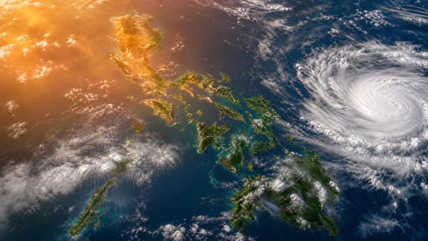
PAGASA says a tropical depression east of Mindanao may enter PAR as Tropical Storm Domeng and could strengthen further over the Philippine Sea.
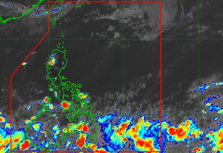
Heads up, weather watchers: PAGASA said a low pressure area outside the Philippine Area of Responsibility has strengthened into a tropical depression, raising the possibility that the country could soon be tracking a new bagyo named Domeng.
As of 4 p.m. Tuesday, May 26, the tropical depression was spotted 1,360 kilometers east of northeastern Mindanao and was almost stationary. It packed maximum sustained winds of 45 kilometers per hour and gusts of up to 55 km/h.
In its 5 p.m. advisory, PAGASA said the system may move erratically over the next 24 hours while it continues to consolidate. The weather bureau said it could enter PAR by Thursday afternoon or evening, May 28, as a tropical storm, at which point it would be given the local name Domeng.
PAGASA also said the cyclone could intensify further and may reach typhoon strength over the Philippine Sea by Saturday, May 30. While landfall is considered less likely, the system could approach extreme Northern Luzon or the Batanes-Babuyan Islands area, where Signal No. 1 may be raised if strong winds reach the area.
The possible Domeng may also enhance the southwest monsoon or habagat by Saturday. For now, southwesterly windflow and the trough of the tropical depression are bringing scattered rain and thunderstorms to parts of Palawan, Mindanao and nearby regions, while the rest of the country can expect generally fair weather with localized thunderstorms. Source: Rappler