Bagyo Watch: LPA East of Mindanao May Become Tropical Cyclone, PAGASA Says
PAGASA is monitoring an LPA east of Mindanao that has a medium chance of becoming a tropical cyclone, while Palawan and Mindanao brace for rain.

PAGASA is monitoring a low-pressure area east of northeastern Mindanao that now has a medium chance of becoming a tropical cyclone, raising early bagyo watch vibes for parts of the country.
According to Manila Bulletin’s report, the LPA was spotted 1,745 kilometers east of northeastern Mindanao as of 8 a.m. Monday, May 25. PAGASA weather specialist Aldczar Aurelio said the system will continue to be watched because it may still develop into a storm.
The trough of the LPA is expected to affect Palawan and Mindanao through Tuesday, May 26, bringing cloudy skies, scattered rains, and thunderstorms. Residents in these areas were advised to stay alert for possible flash floods and landslides during moderate to occasionally heavy rain.
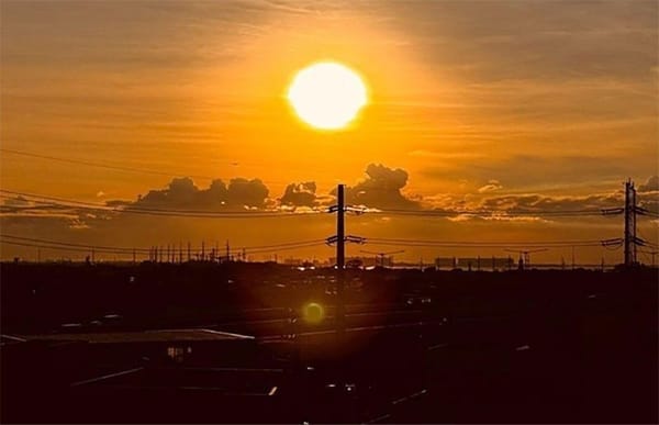
For Luzon and the Visayas, PAGASA said generally fair weather may prevail, but hot and humid conditions are still expected, especially around noon and in the afternoon. Localized thunderstorms may also bring sudden rain showers later in the day.
The weather bureau also noted dangerous heat conditions, with Dagupan City recording a 48°C heat index on Sunday and Metro Manila hitting 41°C to 43°C. For Monday, Dagupan may again feel up to 47°C, while Metro Manila could stay in the 41°C to 43°C range.
Source: Manila Bulletin