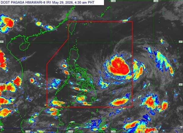
Bagyong Domeng Now Typhoon: Habagat Rains, Gale Winds Ahead
Domeng has intensified into a typhoon and is expected to enhance the habagat, bringing rains, strong gusts, and rough seas to parts of the Philippines.
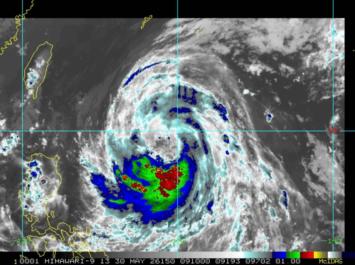
Bagyong Domeng, internationally known as Jangmi, has strengthened into a typhoon over the Philippine Sea, according to PAGASA’s Saturday bulletin cited by Philstar.com.
As of 5 p.m. on May 30, Domeng was located 815 kilometers east of Northern Luzon, carrying maximum sustained winds of 120 kilometers per hour and gusts of up to 150 kph. PAGASA said the typhoon was moving northwestward at 20 kph, with strong to typhoon-force winds extending up to 500 kilometers from its center.
The good news: Domeng is not expected to make landfall in the Philippines. The warning, though, is that it will enhance the southwest monsoon or habagat, raising the risk of strong to gale-force gusts and rains across large parts of Luzon, Visayas, and some areas in Mindanao through the weekend and into Monday.
PAGASA also warned of rough seas, including waves of up to 3.5 meters near Batanes and up to 3 meters around the Babuyan Islands and northern Luzon coastal waters. Small seacraft operators and motorbanca users were advised not to sail in rough conditions.
Domeng is forecast to continue moving northwest before recurving toward southern Japan and exiting the Philippine Area of Responsibility by Monday, June 1. Source: Philstar.com