
Domeng Enters PAR: Bagyo May Become Typhoon by Saturday
Tropical Storm Domeng has entered PAR and may intensify into a typhoon by Saturday, with PAGASA warning of rain, gusts and rough seas.
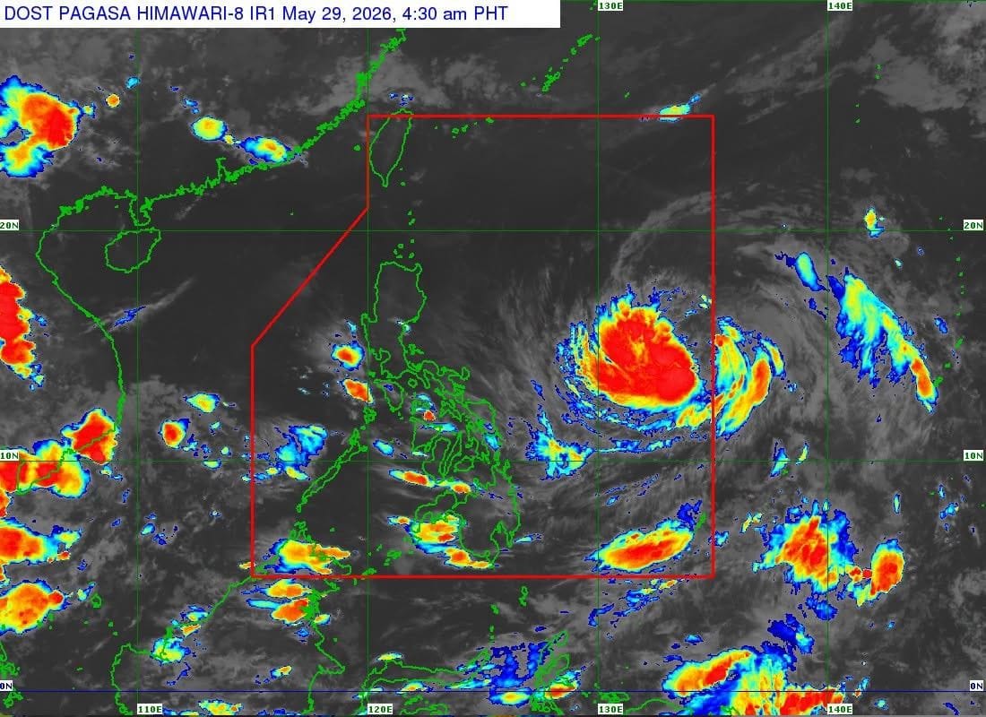
Tropical Storm Domeng has entered the Philippine Area of Responsibility early Friday, giving Filipinos a fresh bagyo watch as PAGASA tracks the system over the Philippine Sea.
In its 5 a.m. advisory, PAGASA said Domeng was spotted 1,345 kilometers east of Southeastern Luzon, carrying maximum sustained winds of 75 kilometers per hour and gusts of up to 90 kph. The storm was moving northwestward at 20 kph.
No tropical cyclone wind signal had been raised as of Friday morning, and PAGASA said Domeng is unlikely to make landfall. Still, the weather bureau warned that the storm may enhance the southwesterly windflow, which could bring heavy rains over western parts of the country starting Sunday, May 31.
PAGASA also said Domeng may intensify into a typhoon by Saturday before gradually weakening afterward. Strong to gale-force gusts may affect most of the Visayas and several areas in Luzon and Mindanao, especially coastal and upland communities exposed to winds.
For mariners, PAGASA advised caution along several eastern seaboards, including Batanes, Cagayan, Isabela, Dinagat Islands and parts of Davao Oriental, where waves may reach up to two meters. Domeng is forecast to leave PAR by Monday, June 1. Source: Philstar